Sluch River
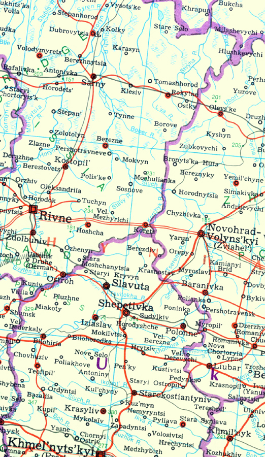
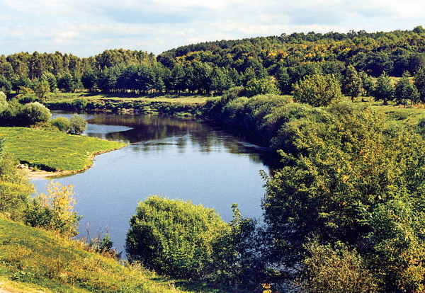
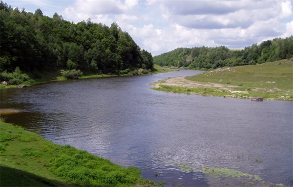
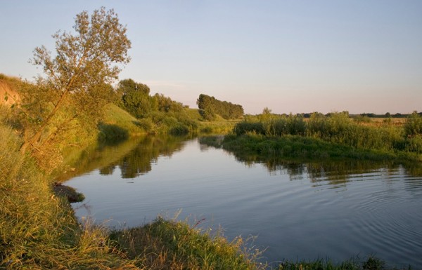
Sluch River [Случ; Sluč]. (Map: Sluch River.) A right-bank tributary of the Horyn River that flows northward for 451 km through Khmelnytskyi oblast, Zhytomyr oblast, and Rivne oblast and drains a basin area of 13,900 sq km. Its valley is between 0.2 and 0.8 km wide in its upper reaches and up to 5 km wide downstream. The river itself is 5–50 m wide for most of its course and 110 m at its widest point. The Sluch River is used for industrial and water-supply purposes as well as for irrigation, fishing, and river transportation (it is navigable for 290 km). Its main tributaries include (right) the Tnia River and (left) the Korchyk River, the Smolka River, and the Khomora River. A small hydroelectric station exists in its upper reaches. The main centers along the river include Starokostiantyniv, Novohrad-Volynskyi, and Sarny.
[This article originally appeared in the Encyclopedia of Ukraine, vol. 5 (1993).]


