Kovel
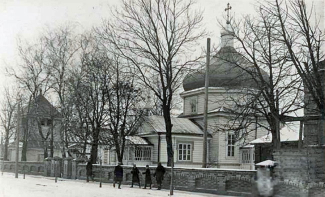
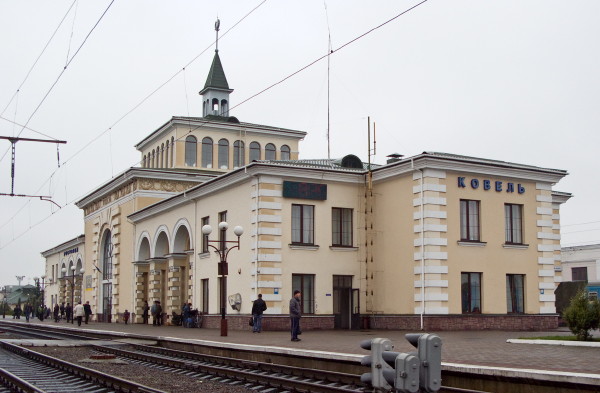
Kovel [Ковель; Kovel’]. Map: II-5. City (2013 pop 69,050) and raion center in Volhynia oblast, situated in Polisia on the Turiia River. First mentioned in 1310, in 1518 it was granted the rights of Magdeburg law. It became a county town of Volhynia vicegerency in 1795 and of Volhynia gubernia in 1797. In 1919 the Volhynian Division of the Army of the Ukrainian National Republic fought the Polish army there. From 1921 to 1939 Kovel was under Polish rule. The city is an important railway junction. Among its industries are agricultural-machinery, reinforced-concrete, and food- and feed-processing plants. Its architectural monuments—the wooden Annunciation Cathedral (built in 1505) and the railway station (1905, architect Oleksander Verbytsky)—were damaged during the Second World War.
[This article originally appeared in the Encyclopedia of Ukraine, vol. 2 (1988).]


.jpg)