Prypiat River
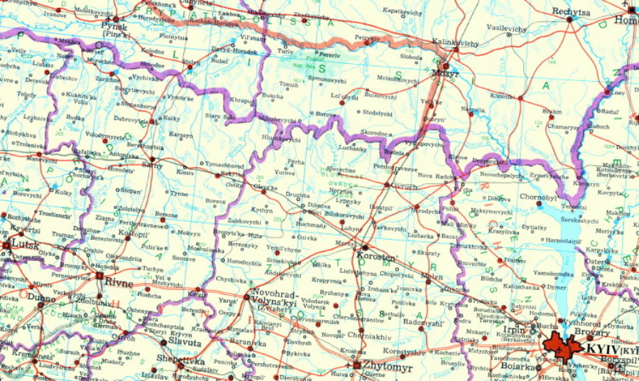
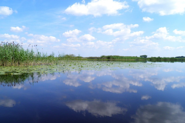
Prypiat River [Прип’ять; Prypjat’]. The major right-bank tributary of the Dnipro River. It is 761 km long (the second-longest tributary of the Dnipro, next to the Desna River) and drains a basin area of 121,000 sq km (the largest in the Dnipro watershed). Most of it passes through Ukrainian ethnographic territory and its borderland in Belarus. Its upper reaches (185 km) and lower reaches (80 km) as well as 57 percent of its basin are in Ukraine (nearly 75 percent is in Ukrainian ethnographic territory). The river flows slowly, meandering through wide floodplains, frequently breaking into and rejoining branches. In its upper course it is 30–40 m wide, in the middle, 200–250 m wide, and in the lower, 200–500 m wide. The large homogeneous floodplain of the river consists of oxbows, marshes, bush, and coppice. The river freezes in mid-December and thaws in late March. Its average annual discharge is 14.5 cu km, 60 percent of its flow coming in the spring. Spring floods last well into the summer.
Prypiat River’s principal tributaries include (right bank) the Horyn River, the Slovechna River, the Stokhid River, the Stvyha River, the Styr River, the Ubort River, the Uzh River (Polisia), the Vyzhivka River, the Turiia River, and the Zholon River, and (left bank) the Lan River, the Pyna River, the Ptsich River, the Sluch River, and the Yaselda River. The Prypiat is connected to the Vistula River by the Dnipro-Buh Canal. It is used for shipping, log rafting, and water supply. The river contains a wide variety of fish (pike, carp, perch, catfish, bream, and others). The main centers along the river include Pynsk, Petrykiv, Mozyr, and Chornobyl.
[This article originally appeared in the Encyclopedia of Ukraine, vol. 4 (1993).]


.jpg)