Skole
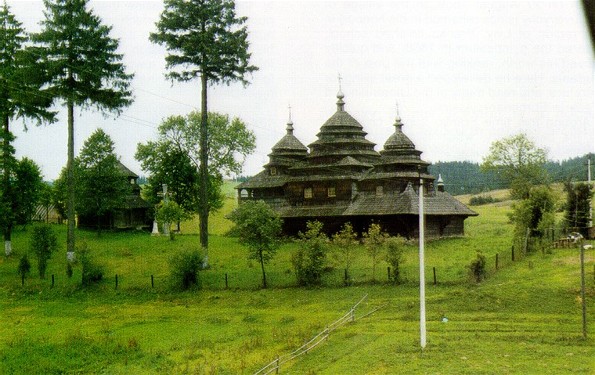
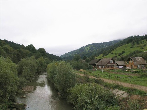
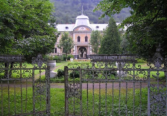
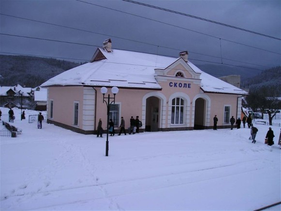
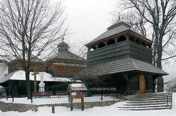
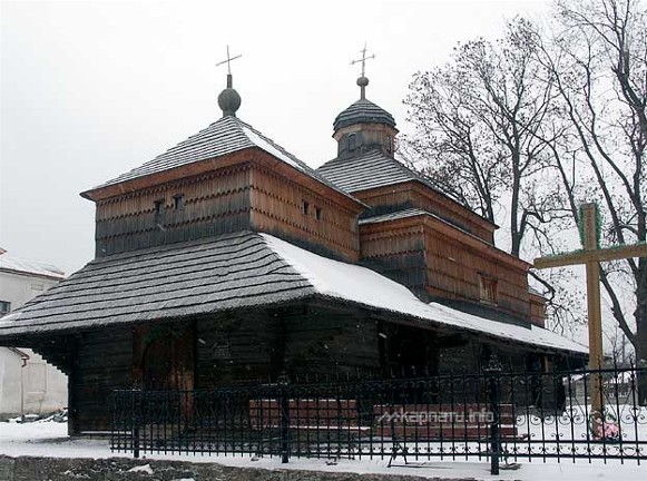
Skole. Map: IV-4. A city (2001 pop 6,742) on the Opir River in the High Beskyd and a raion center in Lviv oblast. It was first mentioned in historical documents in 1397. Under Polish rule the village was destroyed by the Tatars (1594) and by the Hungarians (1610, 1657). In the 17th and 18th centuries opryshoks were active in the area. After the partition of Poland in 1772, the town belonged to Austria, and in 1912 it was granted city status. In the interwar period it was held by Poland (1919–39). Today its main industries are lumbering, woodworking, building materials, and handicrafts. Its most valuable monument is the tripartite wooden Church of Saint Panteleimon (17th century), which contains a unique baroque iconostasis (photo: iconostasis).
[This article originally appeared in the Encyclopedia of Ukraine, vol. 4 (1993).]

