Sula River
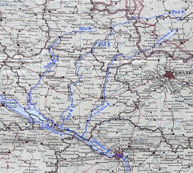
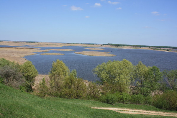
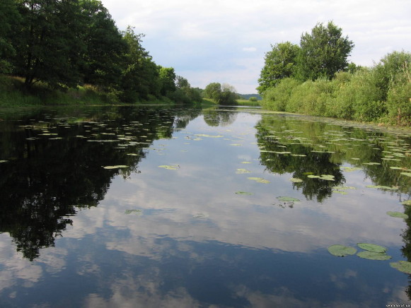
Sula River. (Map: Sula River.) A left-bank tributary of the Dnipro River that flows for 310 km through Sumy oblast and Poltava oblast and drains a basin area of 18,100 sq km. The river is 10–75 m in width, and its valley is 1.5 to 8 km wide (15 km at its widest point). It originates on the southwestern slope of the Central Upland and empties into the Kremenchuk Reservoir. It freezes over from December to late March. The river is used for water supply, irrigation, and fishing as well as navigation (along its lower course). The cities of Romny and Lubny are situated on it.
[This article originally appeared in the Encyclopedia of Ukraine, vol. 5 (1993).]


