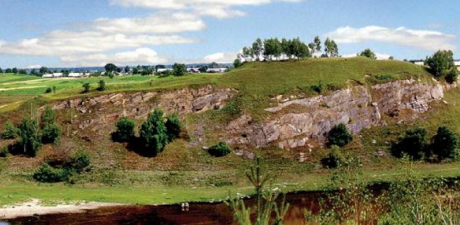
Volhynia-Kholm Upland
Volhynia-Kholm Upland [Волинсько-Холмська височина; Volynsko-Kholmska vysochyna]. The most northwesterly section of the Volhynia-Podilia Upland region. With a length of approximately 200 km and a width of 80 km, the formation has an average elevation of 220–250 m and rises to 342 m at its highest point. It slopes downward from its southern to its northern reaches. The upland contains a number of plateaus, which are dissected by the Buh River, the Styr River, and the Horyn River as well as their tributaries and lie on top of Cretaceous deposits. In its western reaches the deposits sit on top of the carboniferous Lviv-Volhynia Coal Basin. Karst landscape formations are found in the region; the natural vegetation is generally of a broadleaf forest variety.
[This article originally appeared in the Encyclopedia of Ukraine, vol. 5 (1993).]

