Korets
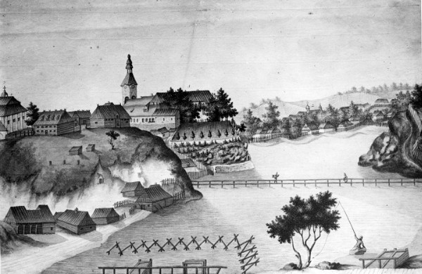
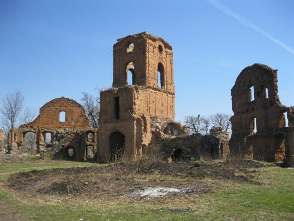
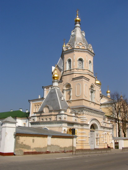
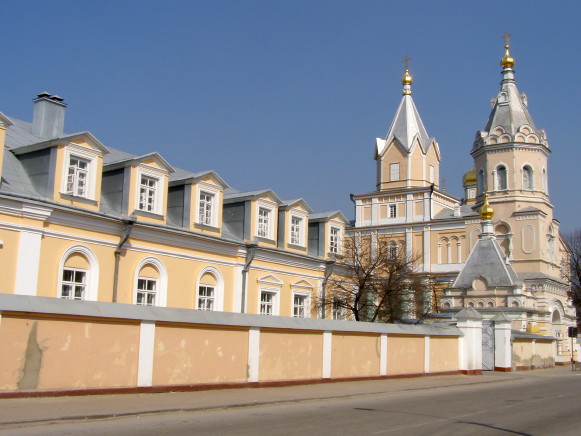
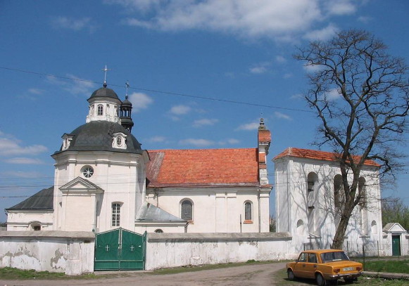
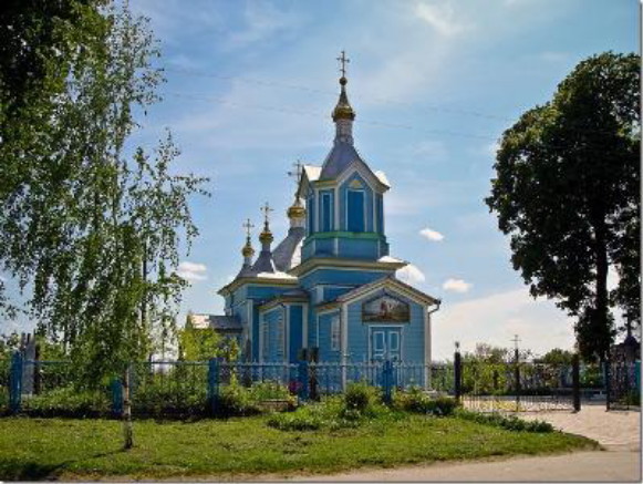
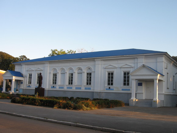
Korets [Корець; Korec']. Map: III-8. Town (2011 pop 7,428) and raion center in Rivne oblast, situated on the Korchyk River in Volhynia. It was first mentioned as Korchesk in the Hypatian Chronicle under the year 1150. In 1494 a Tatar army was defeated there. The town was the seat of the Volhynian Koretsky princes. In the late 18th and early 19th centuries the town's large porcelain factory was famous for its fine wares. In March and April 1919 the Northern Group of the Army of the Ukrainian National Republic fought the Red Army there. The city has a plastics plant and a sugar refinery. Among its architectural monuments are the ruins of a 16th-century castle, 16th–19th-century women’s monastery buildings, a 17th-century Roman Catholic church, and several 18th-century churches.
[This article originally appeared in the Encyclopedia of Ukraine, vol. 2 (1988).]

