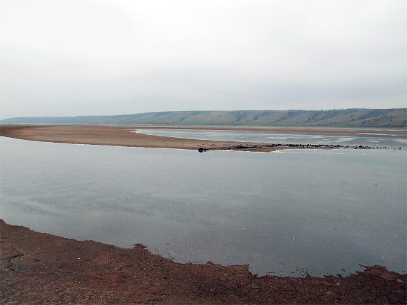
Kuialnyk Estuary
Kuialnyk Estuary [Куяльницький лиман; Kujal’nyc’kyj lyman]. Map: VII-11. A salty estuary on the northwest coast of the Black Sea near Odesa. Separated from the Black Sea by a sandy spit up to 3 km wide, the liman is 28 km long, up to 3 km wide, and up to 3 m deep. The Velykyi Kuialnyk River flows into the liman. Several health resorts have been established on its banks to take advantage of the liman's warm water temperature (28–30°C), and high salt content (averaging 74.3 parts per thousand). Salt was mined there between 1860 and 1931.
[This article originally appeared in the Encyclopedia of Ukraine, vol. 2 (1988).]


