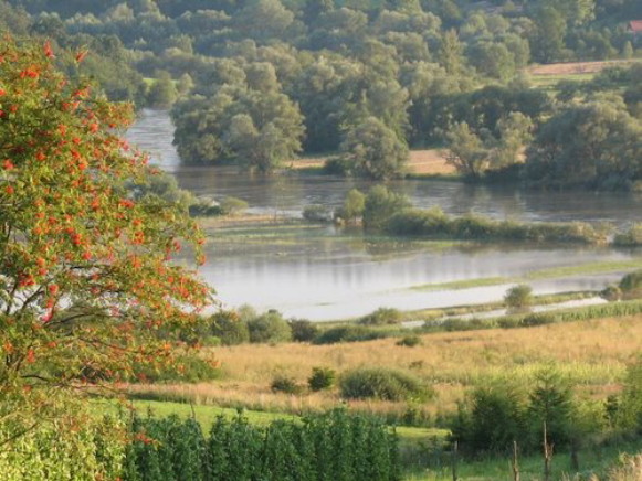
Sian Lowland
Sian Lowland [Надсіанська котловина; Nadsianska kotlovyna]. (Map: Sian Lowland.) A triangle-shaped lowland along the Sian River situated between the Little Polish Upland, the foothills of the Carpathian Mountains, and the Opilia Upland and Roztochia. It merges with the Dnister Lowland in the southeast. With the exception of its southeastern tip, located in Ukraine, the lowland is situated in present-day Poland. The western section of the formation, including the Sian region and the southern Kholm region, has historically been inhabited by Ukrainians.
The Sian Lowland is a tectonic depression along the foothills of the Carpathian Mountains filled in by Miocene strata (up to 300 m thick) covered with glacial and alluvial deposits. It consists of elevated plateaus (the tallest being Tarnohorod) dissected by the valleys of rivers, such as the Tanew River, the Liubachivka River, the Shklo River, and the Vyshnia River. Loess can be found in parts of the plateaus, and dunes are situated in some of its sandy reaches. A large proportion of the lowland's forests have been cleared out, although pine forests mixed with firs and birches occur in the region's sandy areas, and fir forests mixed with hornbeams and maples grow in its heavier soils. The lowland has a population density of 80 persons/sq km; the population is predominantly (75 percent) rural.
[This article originally appeared in the Encyclopedia of Ukraine, vol. 4 (1993).]

