Stavropol Upland
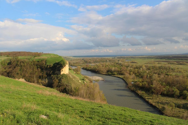
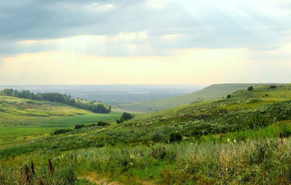
Stavropol Upland. A geographical formation in the central part of Subcaucasia between the Kuban Lowland in the west, the Caspian Lowland in the east, the Kuma-Manych Depression in the north, and the Caucasus Mountains in the south. The upland has prevailing elevations of 300–600 m and a maximum elevation of 831 m (Mount Stryzhament). It is composed largely of limestones, clays, and sandstones and is dissected by numerous river valleys into table mountains. The lower steppe regions in the area are under cultivation; forest-steppe and broad-leaved forest can be found in the upland’s higher elevations. Water for the area is supplied by the Kuban River-Yegorlyk River system as well as the Great Stavropol Canal.
[This article originally appeared in the Encyclopedia of Ukraine, vol. 5 (1993).]

