Holohory
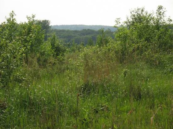
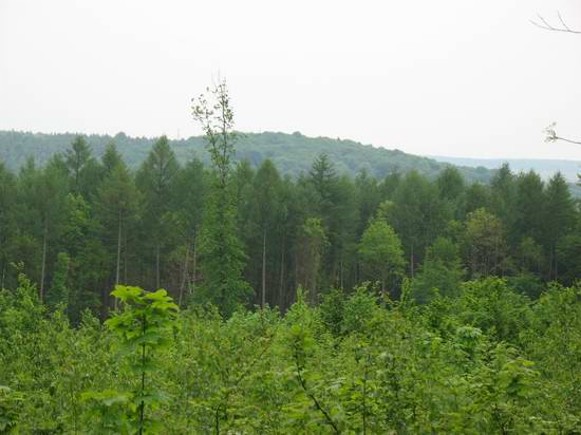
Holohory. (Map: Holohory.) The western part of the northern edge of the Podolian Upland, which is known as the Holohory-Kremianets Ridge, extending 60 km from Lviv to Zolochiv (Lviv oblast). It is dissected by tributaries of the Buh River. The highest peaks are Chortivska Cliff near Lviv (414 m) and Kamula (471 m).


