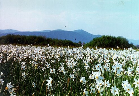
Inner Carpathian Valley
Inner Carpathian Valley [Внутрішньо-Карпатська долина; Vnutrishnio-Karpatska dolyna]. (Map: Carpathian Mountains, Division.) A wide, longitudinal valley in the eastern Carpathian Mountains stretching for 150 km between the Polonynian Beskyd and the Volcanic Ukrainian Carpathians. For the most part the valley follows the course of the small tributaries of the main transverse rivers of Transcarpathia, starting in the northwest in Slovakia at the Chirocha River, a tributary of the Laborets River, and ending in the southeast at the Rika River. From there it broadens out into the wide Maramureş Basin. Most of the valley lies at an altitude of 150–300 m. It rises to 450 m only at the valley passes. Because of suitable natural conditions, much of the valley is farmland and densely settled. Towns and raion centers—Snyna, Velykyi Bereznyi, Perechyn, and Svaliava—are located where the valley meets the main transverse river valleys.
[This article originally appeared in the Encyclopedia of Ukraine, vol. 2 (1988).]

