Polonynian Beskyd

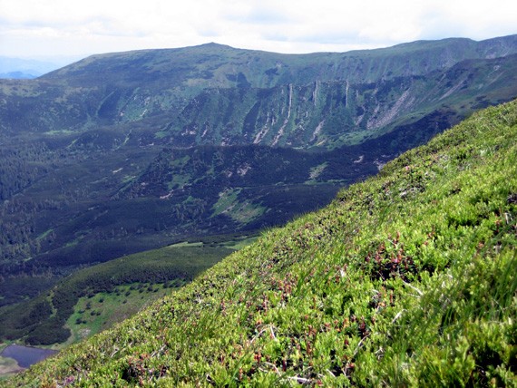
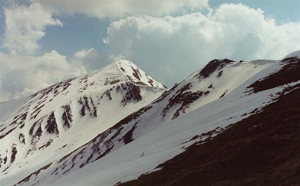
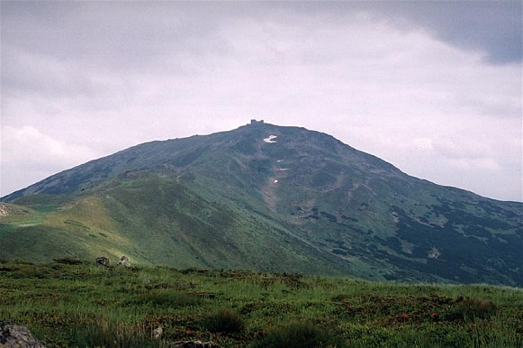
Image - A Chornohora landscape. Image - A panoramic view of Mount Hoverlia, the highest peak (height 2,061 m) in the Ukrainian Carpathian Mountains.

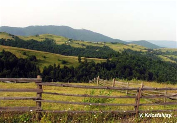
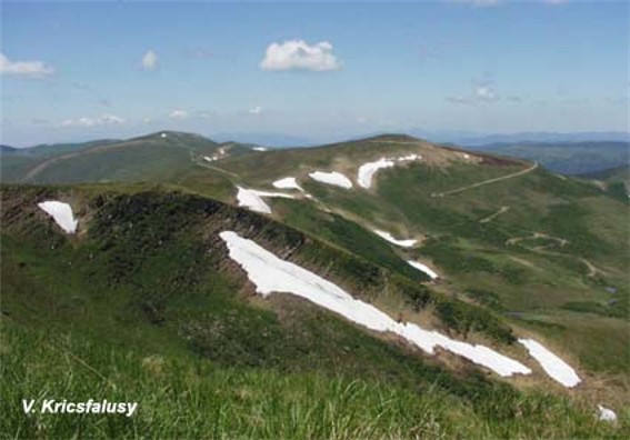
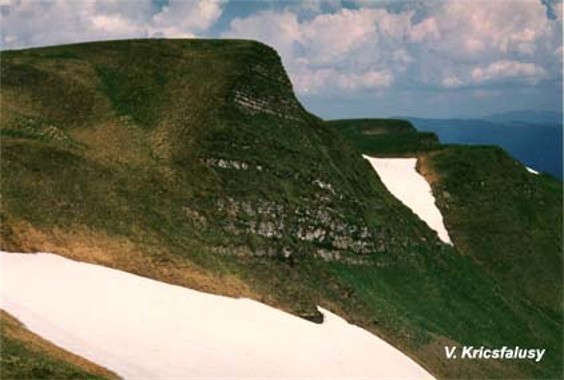
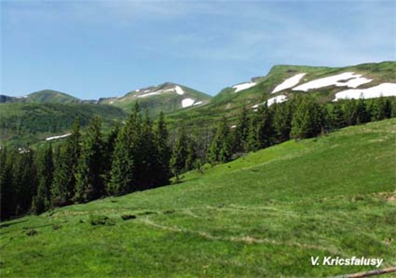
Polonynian Beskyd [Полонинський Бескид; Polonynskyi Beskyd]. (Map: Carpathian Mountains, Division.) The highest and most compact section of the Ukrainian Carpathian Mountains. Running northwest to southeast in a ridge situated between the Inner Carpathian Valley and Maramureş Basin on the southwest and the Middle-Carpathian Depression to the northeast, the Polonynian Beskyd reaches heights of over 2,000 m. It includes such mountain groups as Chornohora, Krasna, and Borzhava. It connects with the Low Beskyd in the northwest and the East Bukovynian Beskyd in the southeast.

[This article originally appeared in the Encyclopedia of Ukraine, vol. 4 (1993).]


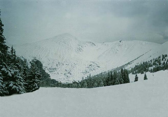
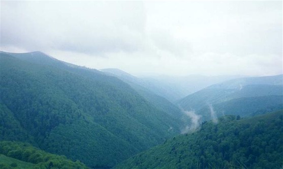
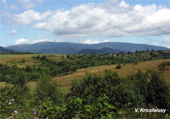
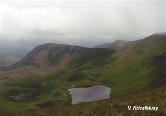
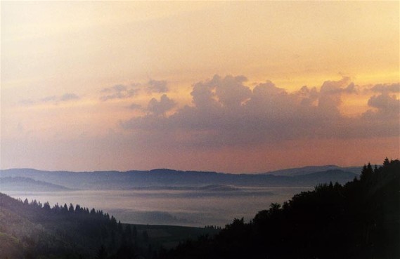
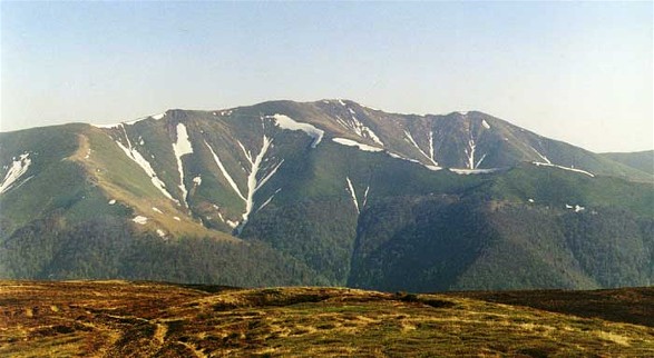
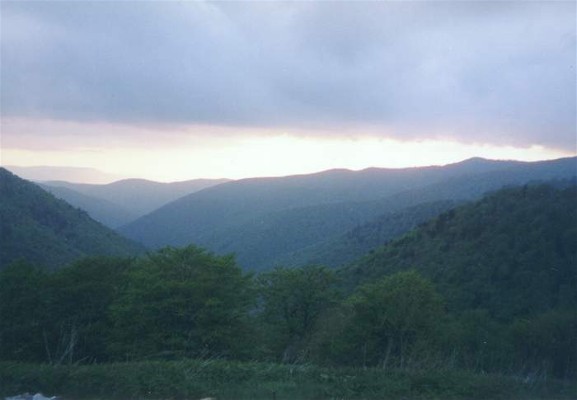
Image - Mount Hoverlia in Chornohora in the winter. Image - The Borzhava mountain group in the Polonynian Beskyd. Image - Dzebroni Peak in the Chornohora (Carpathians). Image - A panorama of the Krasna mountain group in the Polonynian Beskyd. Image - A panorama of the Krasna mountain group in the Polonynian Beskyd. Image - A landscape of the Svydivets mountain group. Image - Mounts Zhandarmy in the Svydivets mountain group. Image - A landscape of the Svydivets mountain group. Image - The Gereshaska Lake in the Svydivets mountain group. Image - The Borzhava mountain group in the Polonynian Beskyd at sunset. Image - Mount Stih (1,677 m) in the Borzhava mountain group in the Polonynian Beskyd. Image - The Borzhava mountain group in the Polonynian Beskyd. Image - Mount Munchel in the Chornohora. Image - Mount Hoverlia in Chornohora in the spring. Image - Mount Pip Ivan in Chornohora. Image - Brebenskul Lake in the Chornohora (Carpathians).


List of related links from Encyclopedia of Ukraine pointing to Polonynian Beskyd entry:


A referral to this page is found in 15 entries.