Kamianske Reservoir
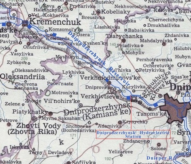
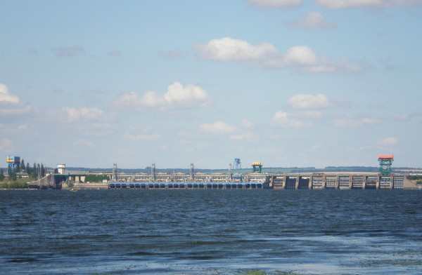
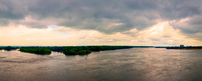
Kamianske Reservoir [Кам’янське водосховище; Kamians'ke vodoshovyshche]. A water reservoir on the lower Dnipro River, built in 1963–5. Until 2017 it was called Dniprodzerzhynsk Reservoir. The reservoir is 114 km in length and 5 km in width on the average (8 km maximum). It covers an area of 567 sq km and has an average depth of 15 m. Its water volume is 2.45 billion cu m. The reservoir freezes over in winter. Its water is used for generating hydroelectric power, transportation, fish farming, and human consumption. The ports of Kremenchuk and the Dnipro Mineral Enrichment Complex in Horishni Plavni are located on the reservoir. The Middle Dnipro Hydroelectric Station, built in 1956–65 in Dniprodzerzhynsk (now Kamianske), is also located on the reservoir. Its capacity is about 350,000 kW, and its average annual production is 1.3 billion kWh.
[This article was updated in 2018.]


