Kupiansk
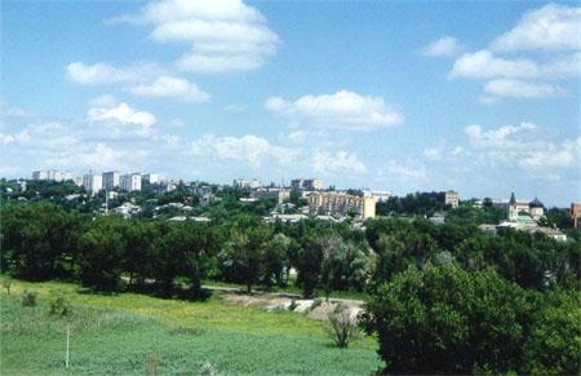
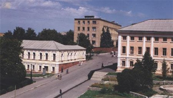
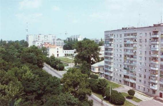
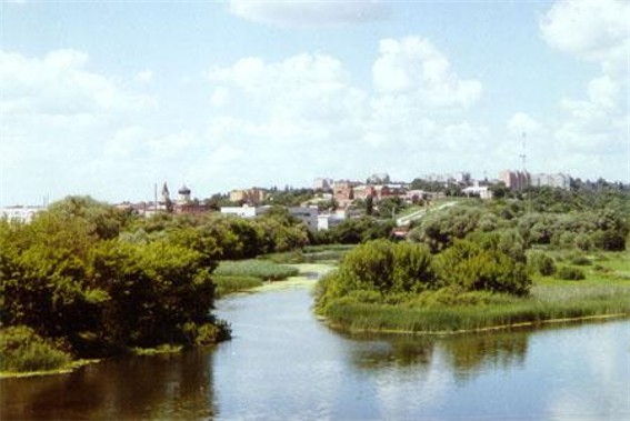
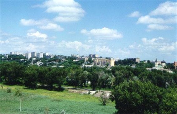
Kupiansk or Kupianka [Kup'jans’k or Kup'janka]. Map: IV-18. (Panorama: Kupiansk.) City (2001 pop 32,400) and raion center under Kharkiv oblast jurisdiction, situated on the Oskil River. It was founded in 1655 as a sloboda (self-governing settlement) and was a company town in Kharkiv regiment and Izium regiment of Slobidska Ukraine (1685–1765). It became a county town in Voronezh vicegerency in 1780, in Slobidska Ukraine gubernia (1797), and in Kharkiv gubernia (1835). Since the late 19th century Kupiansk has been an important railway junction: five lines intersect there and at the adjacent town of Kupiansk Vuzlovyi. The city has an agricultural-machinery factory and food-processing industry. There is a historical-regional museum and an automobile-transportation tekhnikum.
[This article originally appeared in the Encyclopedia of Ukraine, vol. 2 (1989).]

