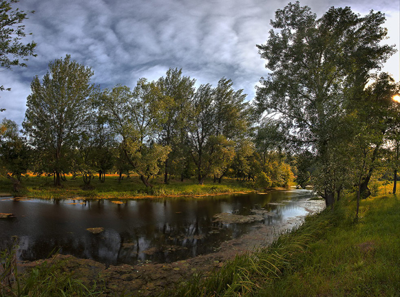
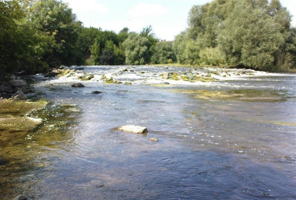
Kodyma River
Kodyma River [Кодима]. (Map: Kodyma River.) A right-bank tributary of the Boh River, 149 km in length, flowing through the Podolian Upland and the Black Sea Lowland and draining a basin of 2,470 sq km. From the 16th to the 18th centuries the Kodyma River marked the border between the Polish-Lithuanian Commonwealth and Turkey; later it separated Podilia gubernia and Kherson gubernia. In 1693 Ukrainian-Cossack forces, consisting of Right-Bank regiments led by Semen Palii and Left-Bank regiments, crushed an invading Tatar army there. In 1738 a decisive battle between Russian-Ukrainian and Turkish-Tatar forces took place there.
[This article originally appeared in the Encyclopedia of Ukraine, vol. 2 (1988).]


