Podolian Upland
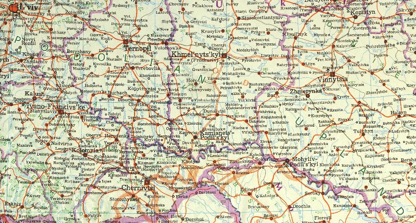
Podolian Upland or Podolian Plateau. (Map: Podolian Upland.) An upland in the Podilia region of southwestern Ukraine on the left bank of the Dnister River. Elongated in shape, the upland has declining elevations along its length from 380 to 320 m in the northwest and from 220 to 130 m in the southeast. Its relatively flat surface is dissected by many parallel, canyonlike valleys joining the Dnister River valley to the south. The upland is underlain by limestone, marl, sandstone, and shale, and in its eastern part by granite and gneiss covered with layers of loess. As a result of intensive erosion its northern rim is a hilly escarpment, rising to over 400 m. The Dnister side is deeply incised by rivers, and the changing base levels of erosion are reflected in a series of steplike terraces. Once covered by a varied forest-steppe vegetation, the surface of the Podolian Upland is now extensively cultivated. Together with the Volhynia-Kholm Upland to the west-northwest, it forms the main part of the Volhynia-Podilia Upland.
[This article originally appeared in the Encyclopedia of Ukraine, vol. 5 (1993).]


.jpg)