Tovtry
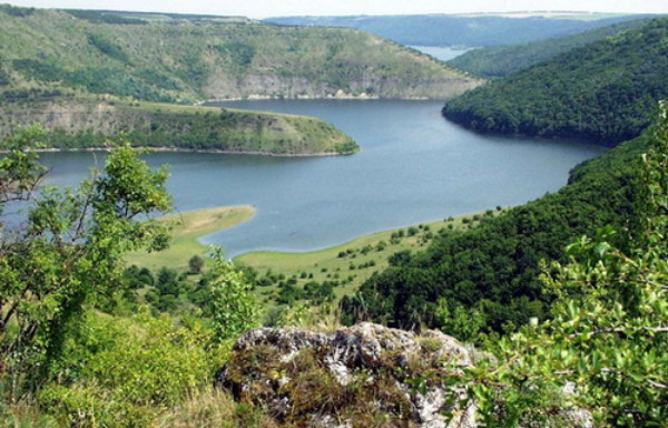
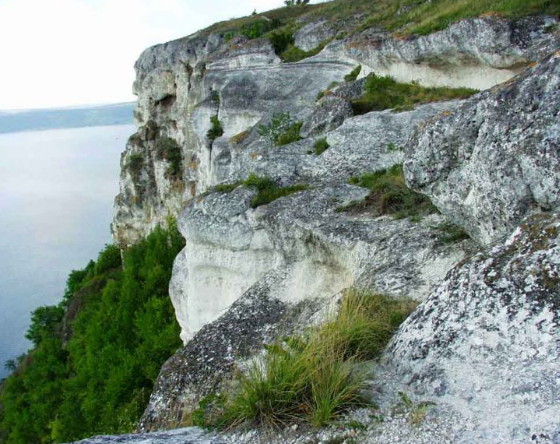
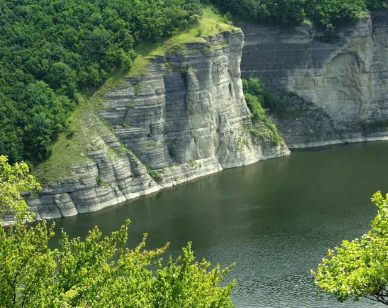
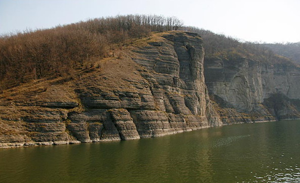
Tovtry [Товтри] (also Medobory Mountains [Медобори]). A belt of limestone ridges extending northwest–southeast across the Podolian Upland for nearly 250 km from Brody in the north through western Podilia to Stelanivtsi, on the Prut River in Moldova, in the south. Originally formed as barrier reefs and atolls in a Neogene sea the Tovtry are marked by karst features. They provide a picturesque, albeit harsh, landscape of blue-gray and white cliffs and gullies. They reach a height of roughly 350–400 m (430 m at the tallest point) and stand 50–100 m above the surrounding plateau. The Tovtry slopes and tops are covered with forests of oak, beech, hornbeam, hazel, and other trees, in sharp contrast to their surrounding farmland areas. The western slopes of the elevations tend to be much steeper than the eastern ones. A number of notable caves (including Dovbush, Perlyn, Tatar, and Karmaliuk) are situated in the mountains.
[This article originally appeared in the Encyclopedia of Ukraine, vol. 5 (1993).]


