Tysa Lowland
Tysa Lowland (Потиська низовина; Potyska nyzovyna) (also known as the Transcarpathian Lowland). (Map: Carpathian Mountains, Division.) A major lowland in Transcarpathia that borders the foothills of the Volcanic Ukrainian Carpathians. It is a continuation of the large Pannonian Lowland and covers a territory of almost 2,000 sq km (15 percent of the total area of Transcarpathia). Only the northern part of the lowland constitutes Ukrainian ethnic territory. The south is inhabited by Hungarians (with a few Ukrainian pockets); the west is located in Slovakia and is settled mostly by Slovaks (with an admixture of Ukrainians and Hungarians).
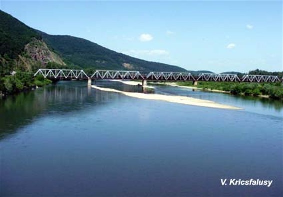
The Tysa Lowland is a monotonous flatland at an elevation of 100–130 m. It occupies a tectonic depression (Chop–Makaliv) overlaid with Neogene deposits and then tuff, clay, and sand. The Tysa River and its tributaries (the Borzhava River, the Liatorytsia River, the Uzh River, and the Liaborets River) meander through the lowland, often changing their course and forming mud holes. The flat relief and the slow flow of the rivers, high groundwater level, and large spring runoffs (often with flooding) have caused the creation of wetlands, especially between Mukachevo and Berehove. They have (in part) been drained since the late 19th century. The lowland is dotted with some volcanic hills 200–360 m and even 560 m high.
The climate of the Tysa Lowland is warm and humid. Annual temperatures average 8.5°C (in the north) to 10°C (in the south); they reach 20–21°C in July and drop to –3°C in January. The growing season (with temperatures over 5°C) is 230 to 240 days a year. Precipitation averages 600–700 mm a year, with 400 mm falling in the summer (peaking in June). The soil is of average fertility with high acidity. Commonly found are podzolized gleys and bog soils, with some better soils near the mountains. The flora is forest-steppe, with steppe admixtures, and includes oak forests dotted with meadows. Most of the forest has been cut back (only about 10 percent of the area remains forested), and over half the territory is under cultivation—primarily wheat, corn, and some industrial crops (notably sunflower and tobacco). Garden farming and grape growing are also practiced, and about one-quarter of the land is pasture or hayfields. Dairy farming is the most common form of animal husbandry. For the entire lowland population the density is about 100 persons/sq km. The largest settlements on the edge of the lowland include Uzhhorod, Mukachevo, and Vynohradiv. Within the lowland itself Berehove and Chop are the major centers.
Volodymyr Kubijovyč
[This article originally appeared in the Encyclopedia of Ukraine, vol. 5 (1993).]


.jpg)