Polonynian Beskyd
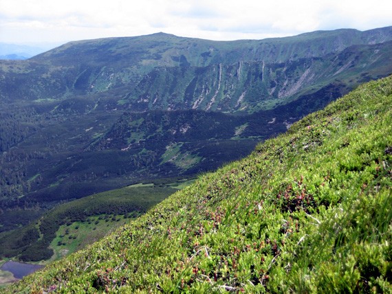
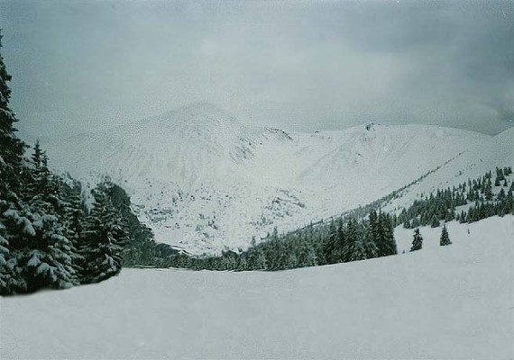
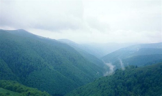
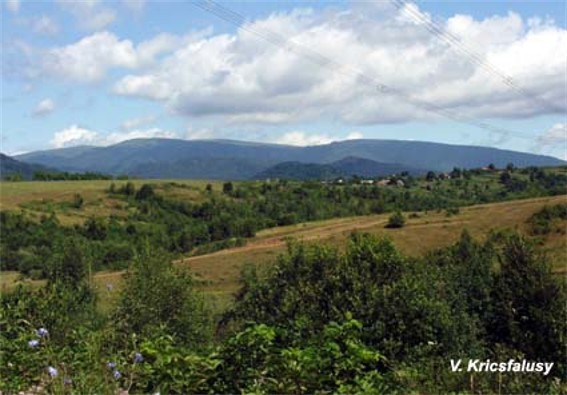
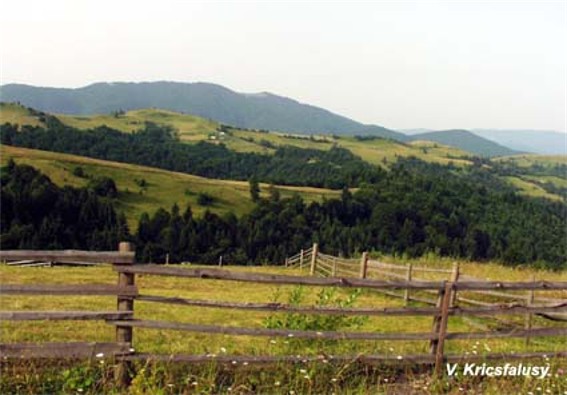
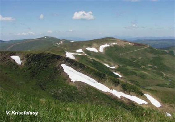
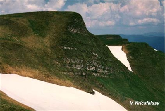
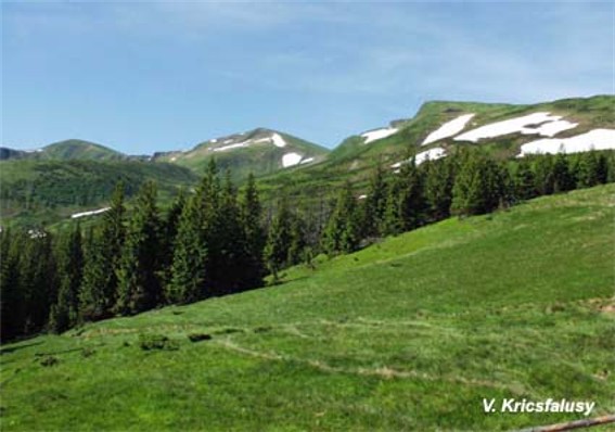
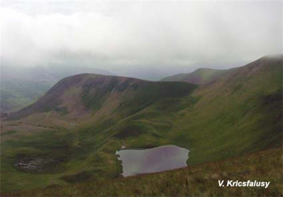
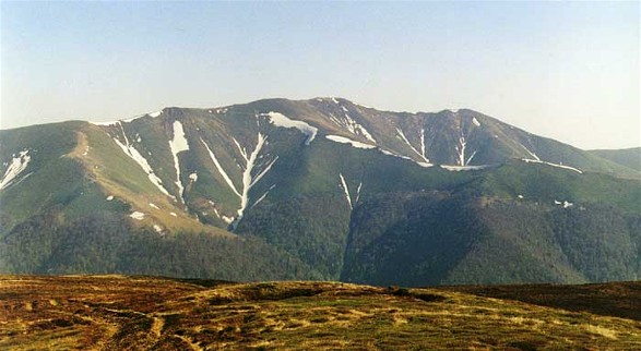
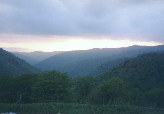
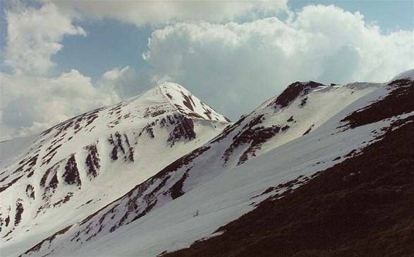
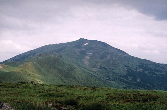
Polonynian Beskyd [Полонинський Бескид; Polonynskyi Beskyd]. (Map: Carpathian Mountains, Division.) The highest and most compact section of the Ukrainian Carpathian Mountains. Running northwest to southeast in a ridge situated between the Inner Carpathian Valley and Maramureş Basin on the southwest and the Middle-Carpathian Depression to the northeast, the Polonynian Beskyd reaches heights of over 2,000 m. It includes such mountain groups as Chornohora, Krasna, and Borzhava. It connects with the Low Beskyd in the northwest and the East Bukovynian Beskyd in the southeast.
[This article originally appeared in the Encyclopedia of Ukraine, vol. 4 (1993).]

.jpg)
.jpg)
.jpg)

.jpg)
.jpg)