Teteriv River
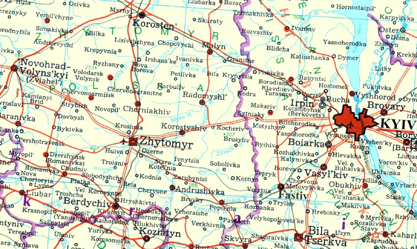
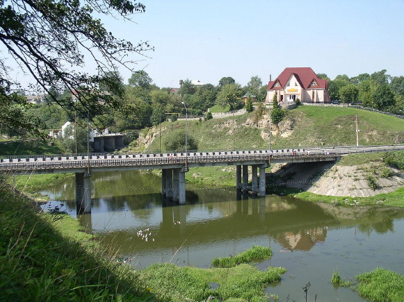
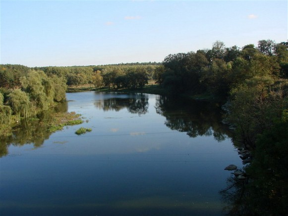
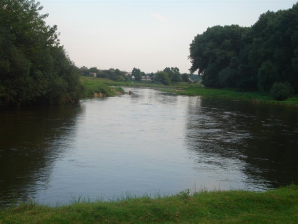
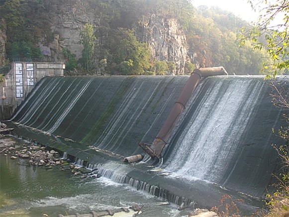
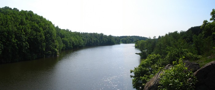
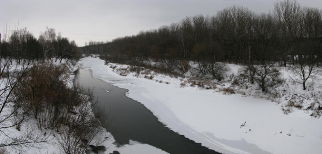
Teteriv River [Тетерів]. (Map: Teteriv River.) A right-bank tributary of the Dnipro River which empties into the Kyiv Reservoir after flowing northeast for 385 km through Zhytomyr oblast and Kyiv oblast and draining a basin area of 15,300 sq km. In its upper reaches the river and its valley are narrow and winding. It becomes 40–90 m wide with a valley of 4 km in its navigable lower course in Polisia. The river is used for industrial water supply, fishing, and irrigation. Granite and marble deposits occur in the river's basin. The major centers along the Teteriv include Zhytomyr, Korostyshiv, and Radomyshl. The ancient Kyivan Rus’ town of Horodsk was also on the river. The Dnipro-Teteriv Game Preserve is located in the lower reaches of the river.
[This article originally appeared in the Encyclopedia of Ukraine, vol. 5 (1993).]

