Gorgany Mountains
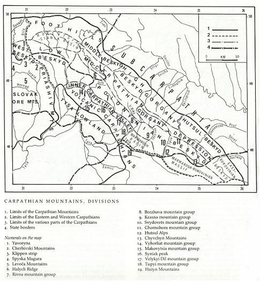
Gorgany Mountains. The central part of the Carpathian Beskyds, situated between the Mizunka River in the west and the Prut River in the east, and between the limits of the Carpathian Mountains in the north and the Middle-Carpathian Depression in the south. (See map: Carpathian Mountains, Division.) Covering an area of approximately 2,500 sq km, the Gorgany are the least accessible and least populated part of the Ukrainian Carpathians. They are formed mostly of hard and resistant sandstones. The transverse valleys of the Mizunka River, the Svicha River, the Chechva River, the Limnytsia River, the Bystrytsia Nadvirnianska River, the Bystrytsia Solotvynska River, and the Prut River dissecting the longitudinal ridges have transformed the latticed structure of the mountains into a feathered, and sometimes insular, form.
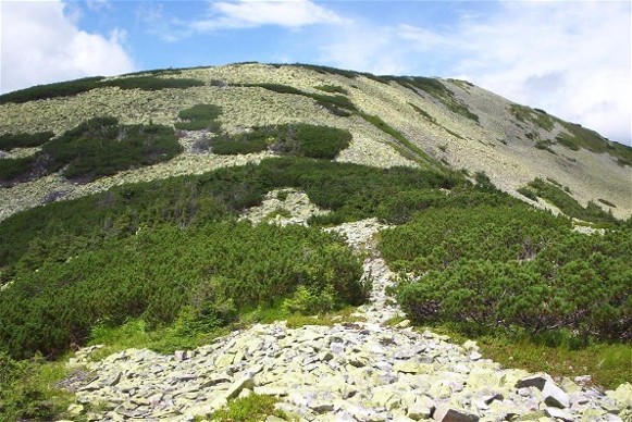
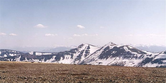
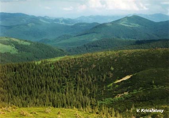
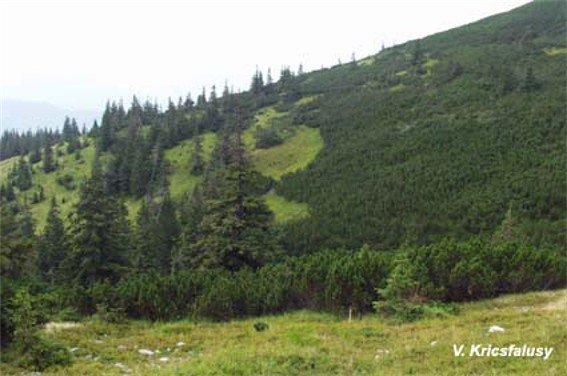
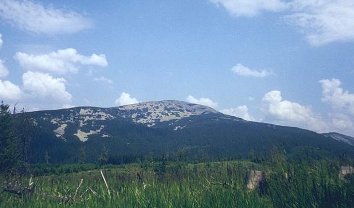
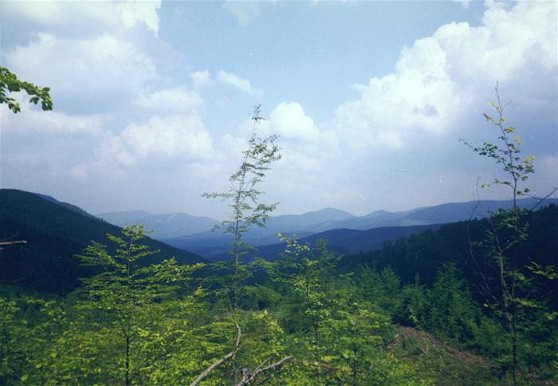
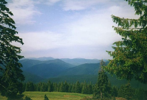
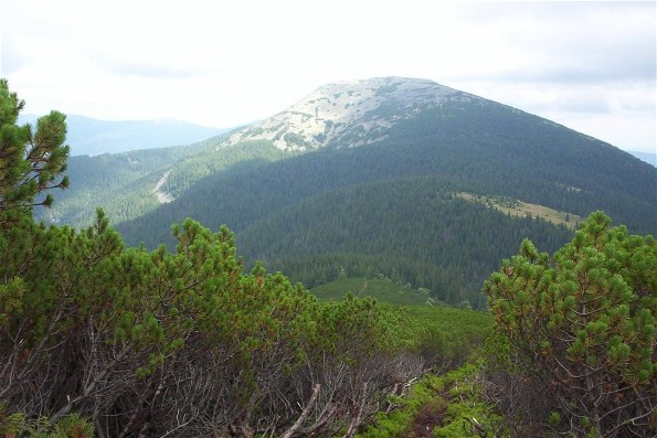
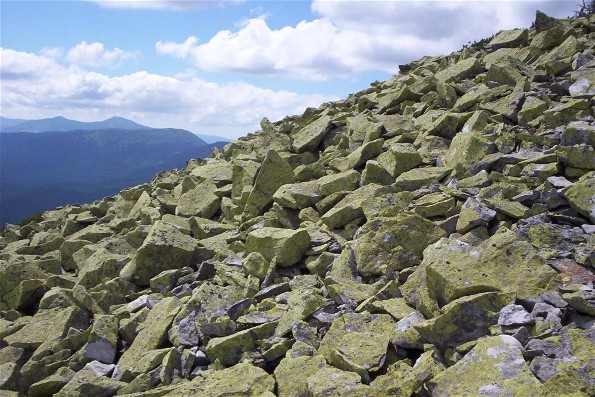
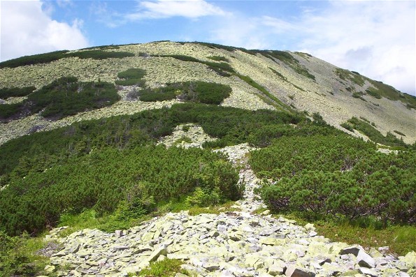
The elevation of the mountains increases from 1,400 m in the west (Mount Gorgan Vyshkivskyi at 1,448 m) to 1,800 m in the Limnytsia Basin (the peaks: Grofa at 1,748 m, Popadia at 1,742 m, Syvulia at 1,836 m, Ihrovyshche at 1,807 m, and Vysoka at 1,805 m) and then decreases towards the east (the peaks: Dovbushanka at 1,755 m, Syniak at 1,664 m, and Khomiak at 1,544 m). The peaks, which are often separated from one another by deep ravines, are more differentiated than the peaks in other parts of the Beskyds. Extensive fields (up to 5 sq km) of sandstone boulders (the result of wind erosion) cover the higher peaks, particularly their southern slopes, and weak traces of past glaciation are found on the highest slopes. River valleys in the Gorgany are deeply incised (up to 1,000 m) and narrow and their slopes are steep. The rivers have an irregular flow, which is often interrupted by rapids and falls (eg, the Bukhtovets River and the Prut River). The Gorgany remain largely forested. Eighty percent of their total area is covered by forests consisting mostly of spruce; mixed forests are found only on the periphery and in Transcarpathia. Above the upper forest line (at 1,450–1,550 m) Swiss stone pine is more widespread than in other parts of the Ukrainian Carpathian Mountains. Because of this and the sandstone fields, mountain meadows seldom occur in the Gorgany. The Beskyds lying between the two arms of the Middle-Carpathian Depression represent a transitional form between the landscape of the Gorgany and that of the Polonynian Beskyd. This is particularly evident in the basin of the upper Tereblia River in Transcarpathia (the peaks: Kanch, 1,583 m; Strimba, 1,723 m; Streminis, 1,599 m).
Because of their inhospitable environment, the Gorgany Mountains are very sparsely populated. In the western and central Gorgany, inhabited by the Boikos, villages are situated mostly on the mountain periphery; the interior is penetrated only by settlements of the Hutsuls in the valleys of the Bystrytsia Nadvirnianska River and Prut River. The towns of Nadvirna and Deliatyn are located on the periphery. Non-Ukrainians—Jews, Poles, and Germans—appeared in this region in the 19th century when the forests began to be commercially exploited; in 1939 they composed close to 10 percent of the total population. These minorities are no longer found there.
The forests are the principal natural resource of the Gorgany. Their exploitation was facilitated in the late 19th century by the construction of a dense network of narrow-gauge track on which timber was transported to large lumber mills in Vyhoda, Broshniv-Osada, Nadvirna, and other towns. A small petroleum industry was located in Bytkiv, Pasichna, and Ripne. The health resorts of the Prut River valley—Vorokhta, Yaremche, Yamne, Mykulychyn, and others—acquired a nation-wide reputation; their development was facilitated by the only railroad in the Gorgany, which links the Prut River valley with Transcarpathia through the Tatarskyi Pass. The unique mountain landscapes, flora, and fauna of the Gorgany Mountains are protected in the Gorgany Nature Reserve.
Volodymyr Kubijovyč
[This article originally appeared in the Encyclopedia of Ukraine, vol. 2 (1989).]

.jpg)
.jpg)
.jpg)
.jpg)
.jpg)
.jpg)
.jpg)
.jpg)
.jpg)
